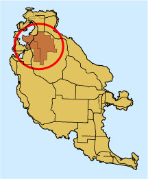
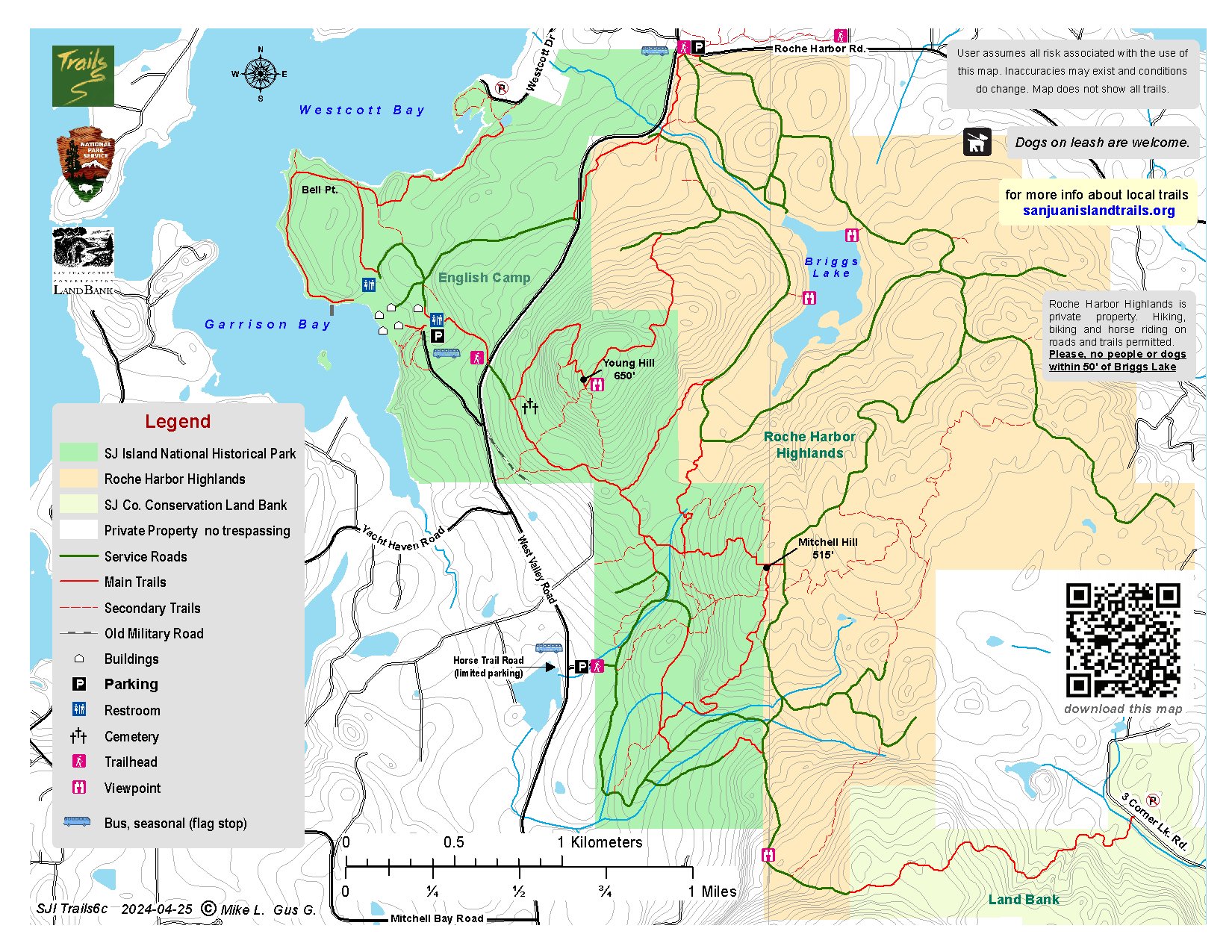
The Mitchell Hill property was recently purchased from the WA DNR and integrated it into San Juan Island National Historical Park along with the associated network of trails. Mitchell Hill comprises 320 acres. The trails are a mix of former logging roads and new and narrower trails created by the island’s mountain bikers. Hikers, mountain bikers and horse riders are welcome but motorized vehicles are not. Please keep dogs on a leash and pick up after them.
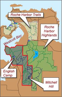
NOTE: Maps of the trail network connecting English Camp, Mitchell Hill and Roche Harbor Highlands are fairly detailed but may be tricky to follow. The NPS has installed signage in their newly acquired areas but trails on Mitchell Hill and in the Roche Harbor Highlands form a maze that may become confusing at times. It is important to use good navigating skills. Print the map and bring it with you along with a compass and/or GPS. Cell phone reception is unreliable so be sure to download the map before setting out. Pay attention! It is easy to get confused in this area.