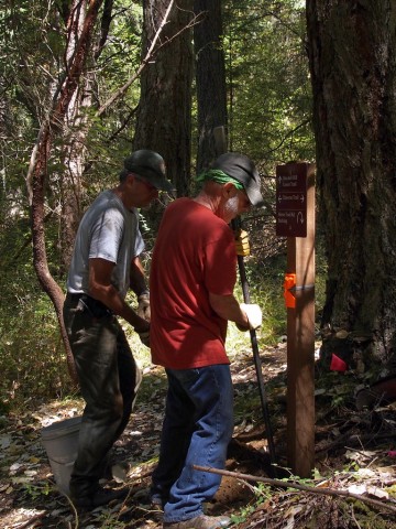
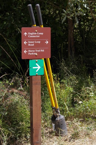
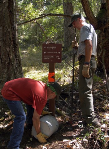
 Mitchell Hill has traditionally been the place where even experienced hikers got lost — and calling 911 on your cell phone, if it worked at all, might connect you with Victoria. After the National Park Service acquired the land a few years ago, superintendent Lee Taylor determined to install unobtrusive signs to end this problem. On Wednesday of this week, after a lot of planning and public input — and approval of the signpost locations by a Park Service anthropologist — a group of volunteers helped Park staff install the new signs. Some 30 people from Spring Street International School, the San Juan Island Trails Committee, and the general public worked from 10 until 1 and then shared a meal laid out on long tables set up under the trees.

Signs now indicate two loop trails. One, marked with green arrow signs, is shorter and easier. The longer, steeper loop is indicated with blue arrow signs. Intersections are marked — if you come to an unmarked intersection, just bear on straight ahead. And every directional sign includes an arrow pointing back to the Horse Trail Road parking area. There are posted maps at most entrances to the property, though not one as yet at the main entrance and parking area on Horse Trail Road. But there is a map box there with printed maps provided by the Trails Committee (and paid for by Roche Harbor Resort). You may also download a printable version here. With one exception, all the trails are open to hikers, bicyclists, and horse riders. The general rule is: Bikers yield to everyone, and everyone yields to horses. But the pattern so far has seemed to be that everyone defers to everyone else. Only the Cedar Grove Trail, beginning near the entrance, is now limited to hikers only